

Quick answer
A belize snorkeling map divides the reef into distinct zones: Hol Chan Marine Reserve and Shark Ray Alley lie off Ambergris Caye's southern tip, while Caye Caulker's sites cluster around the northern cut and Coral Gardens. Most sites sit 15-45 minutes by boat from departure piers, with conservation zones requiring a 15 USD entry fee per person. Water depth ranges from 5 to 30 feet across the shallow reef shelf.
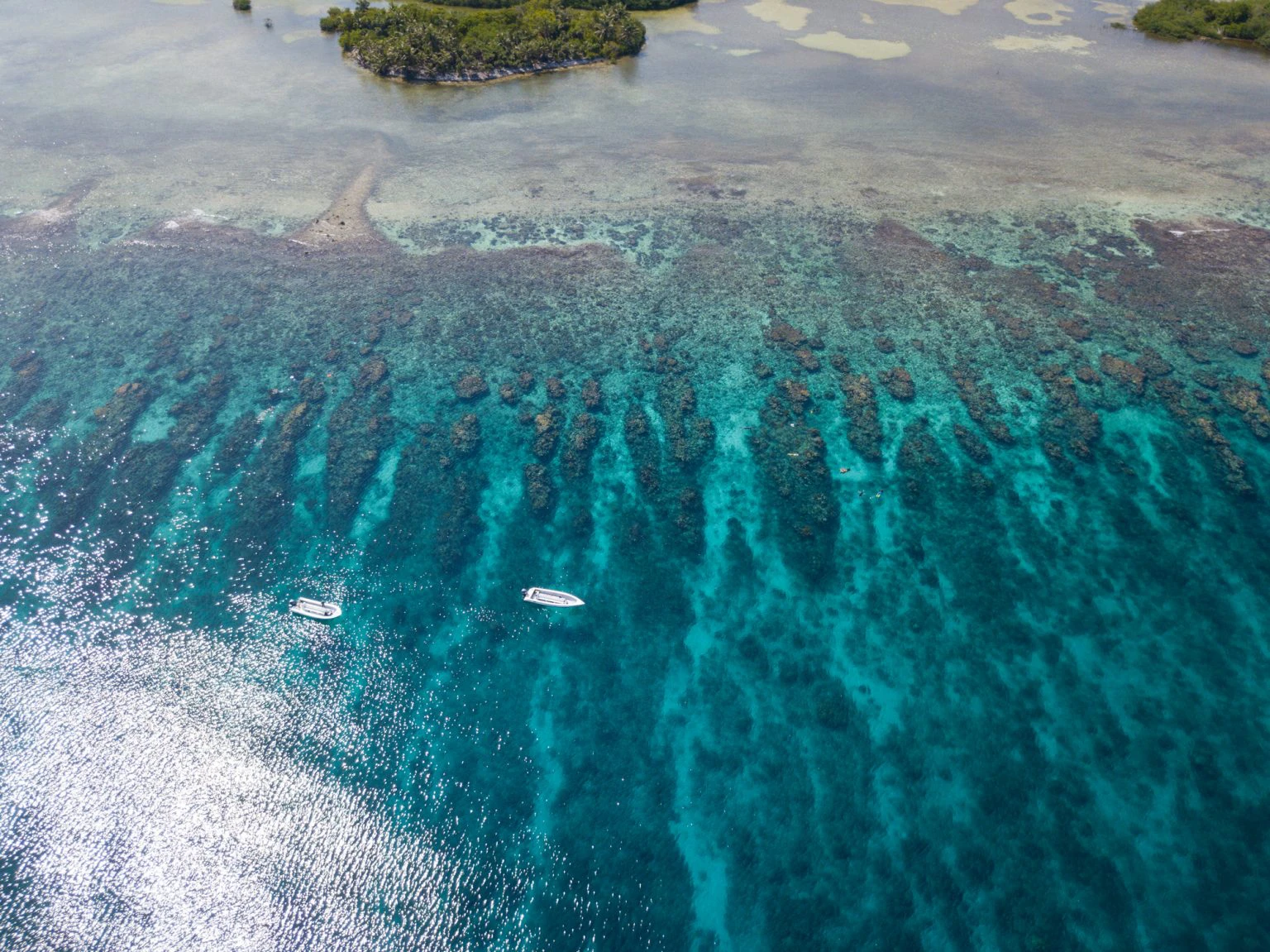
The reef system runs parallel to the mainland coast, separated by a lagoon that varies from two to twenty miles wide. Three atolls—Turneffe, Lighthouse, and Glover's—punctuate the outer edge, each surrounded by wall dives and shallow flats. Most visitors focus on the nearshore sites accessible from San Pedro and Caye Caulker, where protected marine reserves concentrate healthy coral and predictable animal encounters. Hol Chan Marine Reserve occupies a natural break in the reef where channels funnel nutrients and attract schools of snapper, grouper, and nurse sharks. The reserve divides into four zones: Zone A covers the coral reef cut itself, Zone B protects seagrass beds where turtles graze, Zone C encompasses mangrove nurseries, and Zone D includes Shark Ray Alley, a sandy clearing where southern stingrays and nurse sharks gather. Each zone serves a different ecological function, and guides typically visit two or three during a half-day trip. Farther south, sites like Mexico Rocks near Ambergris Caye's northern shore offer patch reef formations in shallow water, while Caye Caulker's Coral Gardens sit just offshore in 10-15 feet of visibility. The Belize Barrier Reef Reserve System encompasses seven marine protected areas, and a belize snorkeling map showing these boundaries helps you understand permit requirements and no-anchor zones. Turneffe Atoll demands a full-day commitment but rewards with wall topography and pelagic visitors—eagle rays, reef sharks, and seasonal whale sharks. Current flows west to east across most sites during morning hours, strengthening after midday. Guides position boats upcurrent and allow drift snorkeling through channels, a technique that conserves energy and covers more reef terrain. Water clarity peaks during the dry season from November through May, though summer months bring calmer surface conditions. The conservation fee grants same-day access to all sites within a single reserve, and most operators include the fee in package pricing rather than collecting it separately.
“The reef runs parallel to the coast for 190 miles, separated by a lagoon that shifts from two to twenty miles wide.”
Optimal Timing for Your Belize Snorkeling Map
The best time to visit the Belize Barrier Reef for snorkeling is during the dry season, specifically between April and May, to ensure favorable water clarity and sunlight. For daily excursions, the optimal arrival window is 08:00–12:00 to maximize visibility and light penetration across the reef sites.
Dry Season (March–May)
Moderate crowdsDry, 27°C–31°C
This period offers the most consistent weather and calmest seas for navigating your snorkeling map.
Wet Season (June–November)
Low crowdsHumid with rain, 26°C–30°C
Expect frequent but brief showers; prioritize morning trips to avoid afternoon squalls.
Daily Morning Windows
Lowest local activity—
Arriving between 08:00–12:00 provides the clearest water conditions before typical afternoon winds pick up.
Verdict: For the best experience, plan your trip between April and May, arriving at the reef sites within the 08:00–12:00 window.
Entrance Fees and Costs on a Belize Snorkeling Map
Entrance fees for the Belize Barrier Reef depend on the specific marine reserve or protected zone you intend to visit. Conservation fees are mandatory for entry into these managed areas.
A typical visitor pays 15 USD for Hol Chan Marine Reserve entry, though actual costs vary depending on the specific protected site on the map.
Operating Hours for the Belize Barrier Reef
The Belize Barrier Reef Reserve System is accessible to visitors throughout the week, maintaining a continuous operating schedule to accommodate diverse snorkeling logistics.
| Monday | 00:00–23:59 | |
|---|---|---|
| Tuesday | 00:00–23:59 | |
| Wednesday | 00:00–23:59 | |
| Thursday | 00:00–23:59 | |
| Friday | 00:00–23:59 | |
| Saturday | 00:00–23:59 | |
| Sunday | 00:00–23:59 |
Key Zones to Identify on Your Belize Snorkeling Map
The Belize Barrier Reef offers distinct marine zones accessible along the coastline. Identifying these specific areas on your map helps in planning navigation between shallow coral gardens and deeper channel ecosystems.

Hol Chan Marine Reserve
A protected area featuring a natural break in the reef where diverse marine life congregates in shallow waters.
Look for nurse sharks and stingrays near the main channel markers.
Ambergris Caye Reef
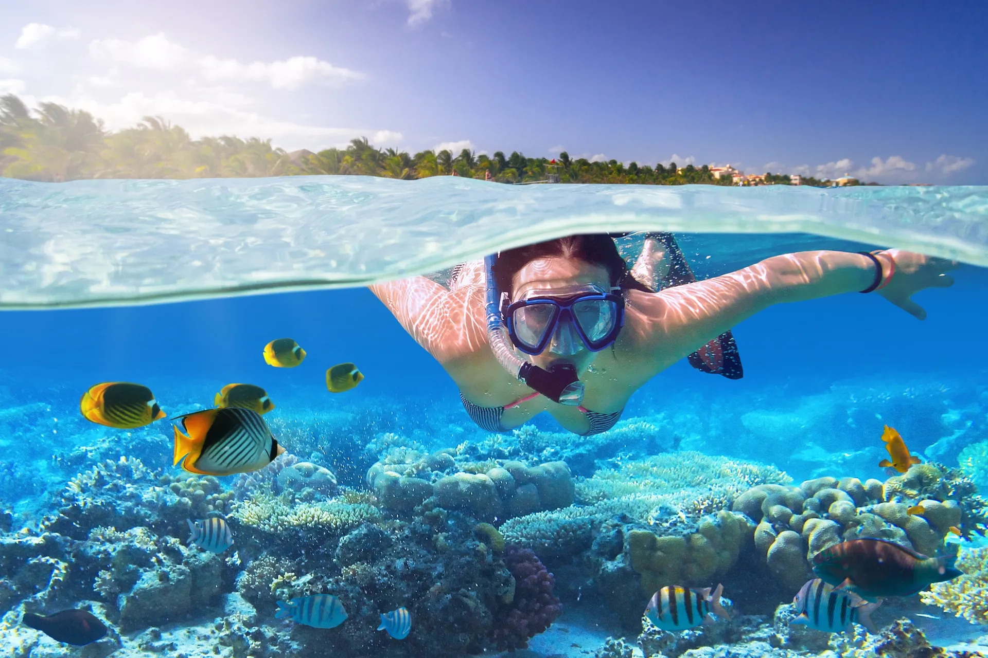
This segment of the barrier reef sits just off the coast of San Pedro and provides extensive shallow snorkeling patches.
Visit the northern sections to avoid heavy boat traffic.
Caye Caulker Marine Reserve
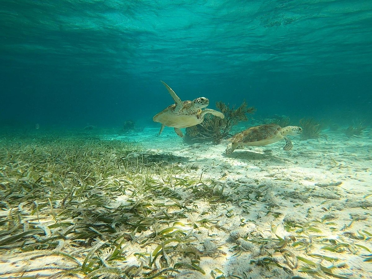
Located south of Ambergris Caye, this reserve protects seagrass beds and coral structures frequented by manatees and rays.
Swim toward the southern sandbars for clearer visibility at high tide.
Shark Ray Alley
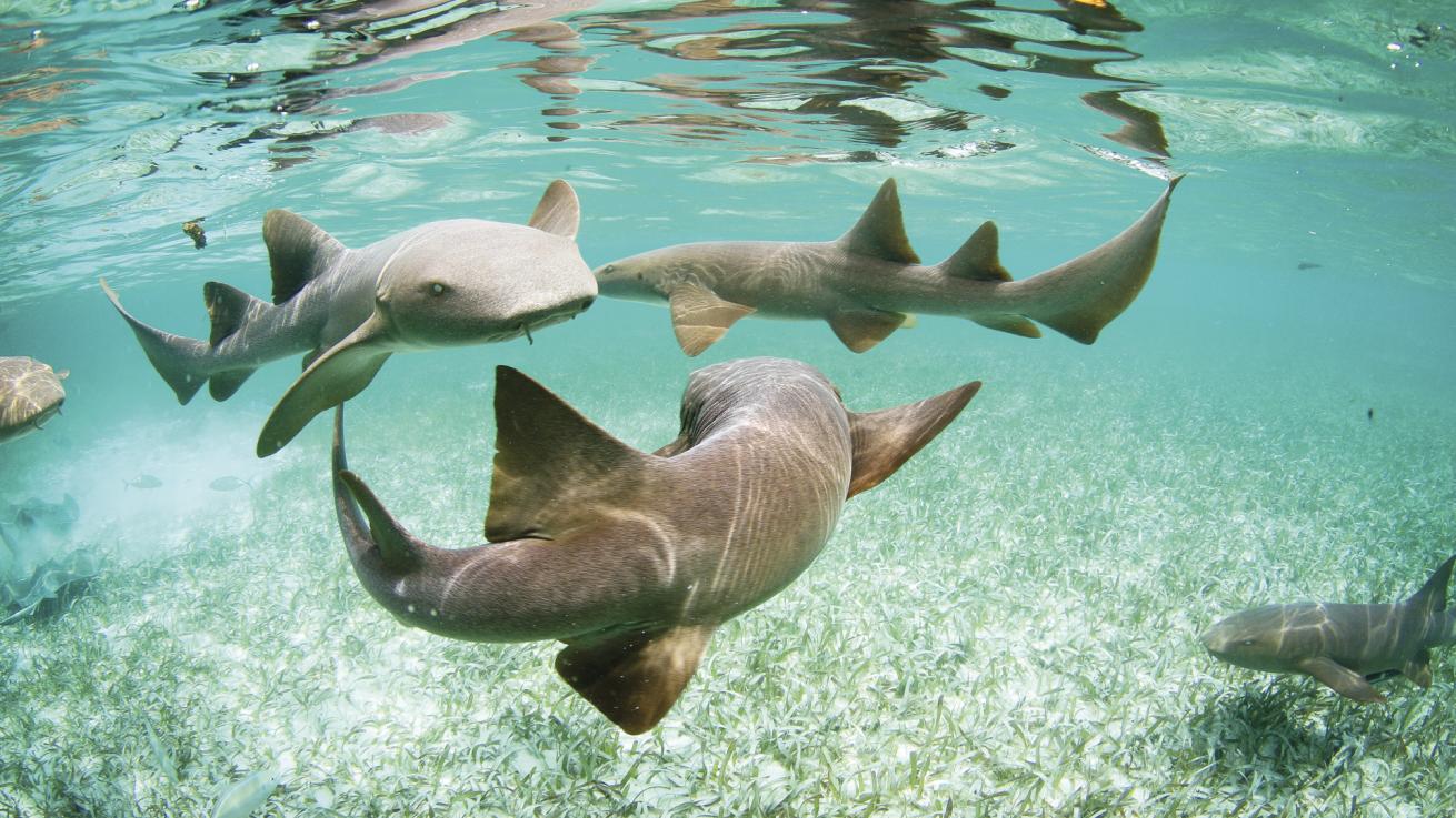
A specific site within the Hol Chan Marine Reserve known for high concentrations of southern stingrays and nurse sharks.
Enter the water quietly to observe the animals without sudden movements.
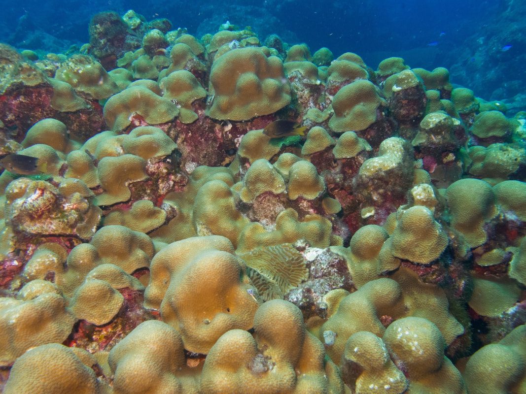
Mexico Rocks
A shallow patch reef system north of San Pedro characterized by large boulder corals and diverse fish populations.
Focus on the coral mounds where smaller reef fish seek shelter.
Logistical Checklist for Using a Belize Snorkeling Map
Prepare these essentials before heading to snorkeling sites along the Belize Barrier Reef.
-
Verify tour operator includes required permits — Many sites like Hol Chan Marine Reserve require paid entry permits that reputable operators arrange.
-
Pack reef-safe sunscreen (mineral-based only) — Chemical sunscreens damage coral; biodegradable mineral formulas protect both you and the reef.
-
Confirm snorkel gear fit before departure — Poorly fitting masks or snorkels waste precious water time and reduce safety.
-
Bring waterproof navigation or laminated map — Paper maps disintegrate; waterproof versions help you identify sites and marine zones.
-
Check weather and sea conditions 24 hours prior — Sudden weather shifts can close sites or reduce visibility below safe thresholds.
-
Arrange morning departure between 08:00–12:00 — Water clarity peaks in morning light, making coral formations and marine life easier to spot.
Check availability
Frequently asked questions about belize snorkeling map
Everything you need to know about belize snorkeling map